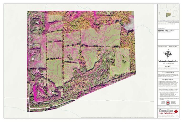
Cut & Fill Survey
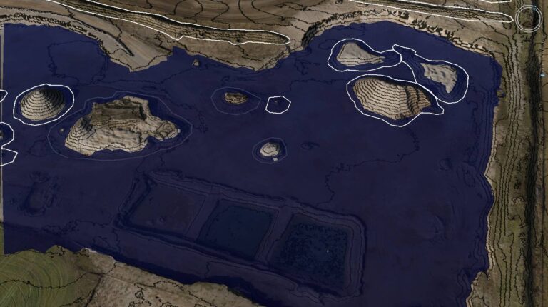
Flood Analysis
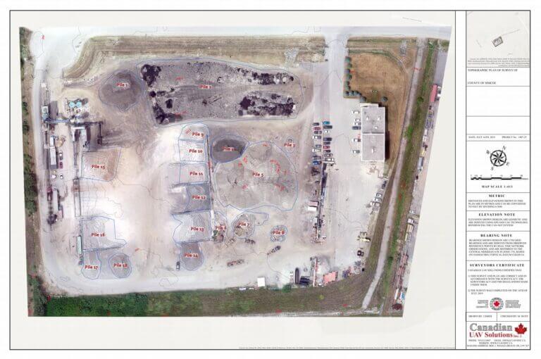
Stockpile Volumes
Stockpile Volumes
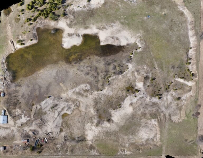
Environmental Rehab Before
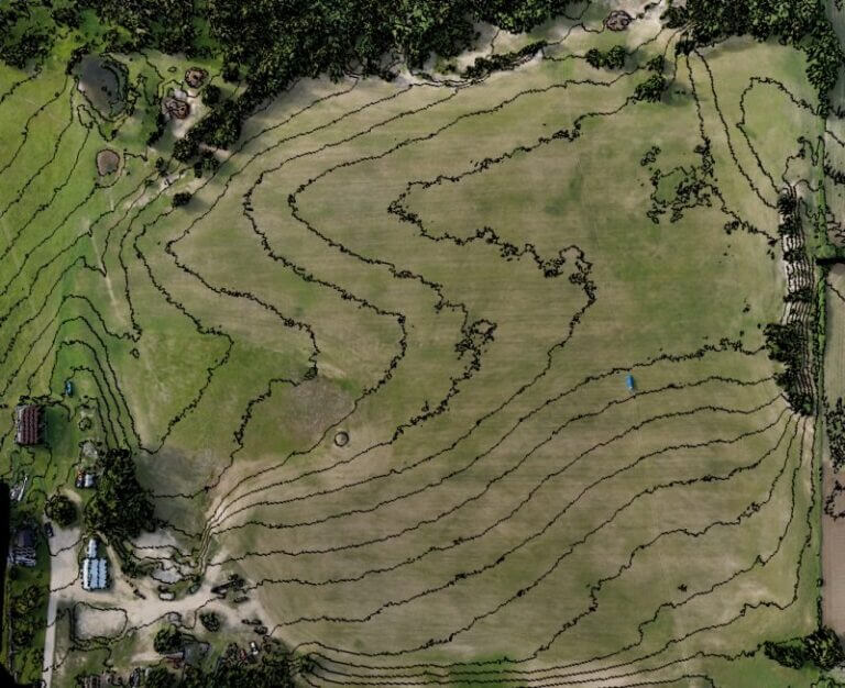
Cut/Fill After
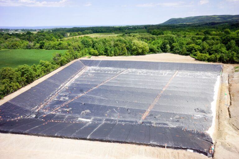
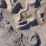
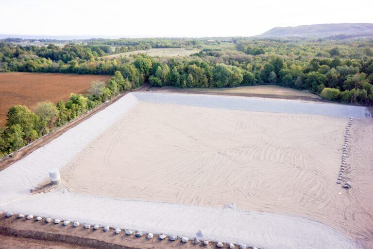
Landfill Stage 1
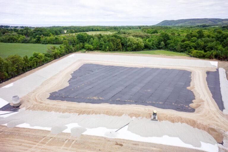
Landfill Stage 2
Landfill Stage 3
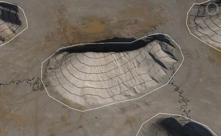
Stockpile Volumes
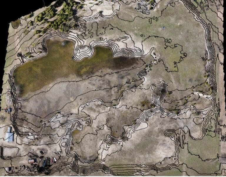
Environmental Rehab Before
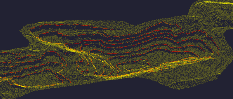
Grids and Breaklines
